
Hike to Kviteggjo
Location Omvikdalen Overview There is an easy incline from the parking lot to the end of the forest road where the terrain flattens at approx. 600m AMSL. From here, signs and T markings towards the north first ov...
Contact information
About
Location
Omvikdalen
Overview
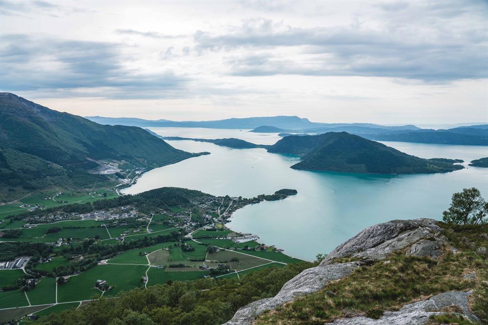
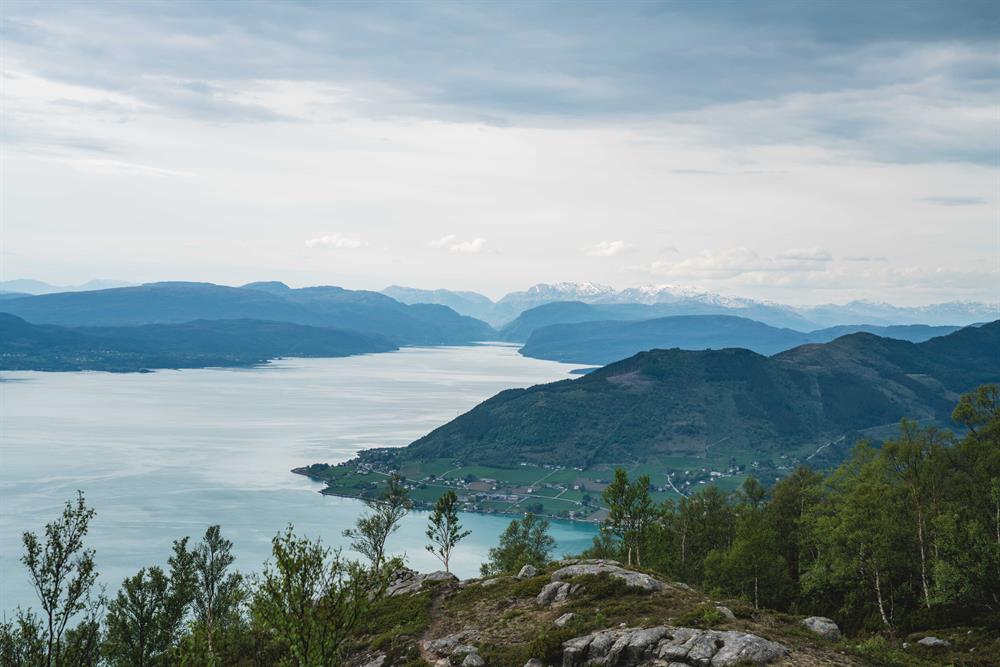
There is an easy incline from the parking lot to the end of the forest road where the terrain flattens at approx. 600m AMSL. From here, signs and T markings towards the north first over a small bridge and further over 660m AMSL going downwards towards the west to a small cairn. There is a beautiful view of towns and fjords.
Map
Folgefonna National Park
Start and stopping point
Hjelmeland with ”Nistovetunet" - protected historic farm yard.
Parking
The sign by the highway is pointing up to the parking by the new large barn “Revuro”.
Marking
There are signs and an information board by the parking lot.
T marked to Kviteggi from the sign by the end of the road approx. 600m AMSL.
Grading
Blue
Moderate hike, two boots according to the DNT system.
Difference in altitude
100 - 660m MASL
Estimated time
3 hours round trip
Recommended advice
Most of this hike is on quality gravel forest road and light terrain, and is suited for both the young and the well mature. Paragliding and hanggliding is very popular in this area.