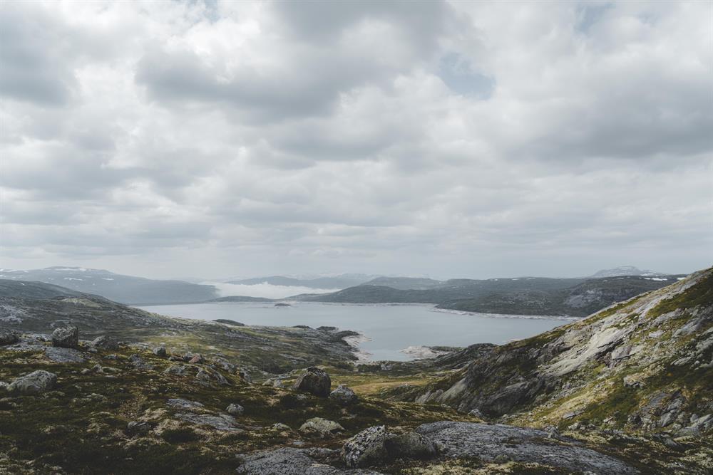
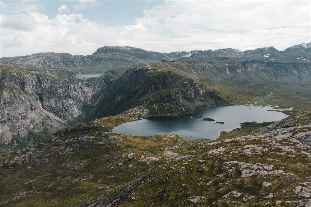
This is a hike in the Norwegian high mountains. What you need to know before hiking in the Hardangervidda:
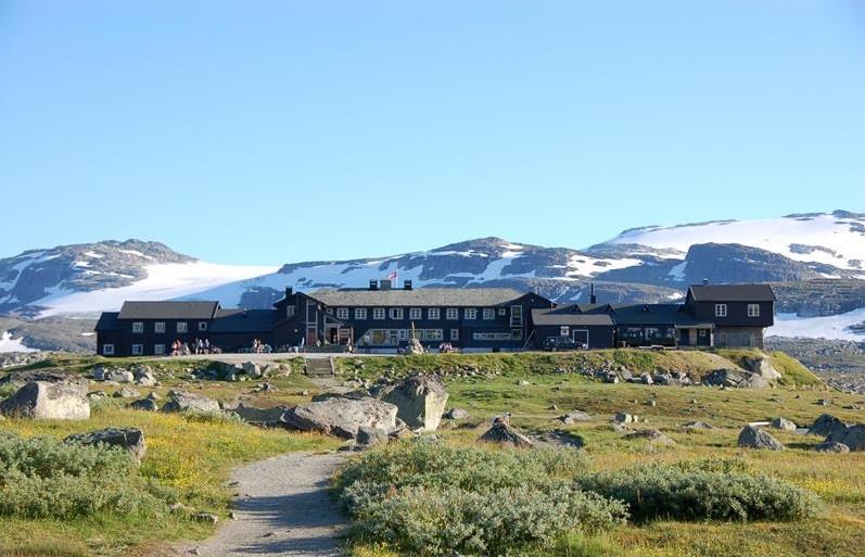
It is wise to plan your trip well. The mountain lodges prefer advance booking for accommodation, then you are guaranteed a place. Accommodation at the DNT mountain lodges that are arranged for advance booking online can be booked on DNT's booking page. Here you get a quick and easy overview of which lodges are available on your chosen dates. Book here
For DNT mountain lodges that are still not arranged for pre-booking online and privately owned mountain lodges, see ut.no for contact information, so that you can get in touch directly for booking.
For good tour descriptions and maps, see ut.no
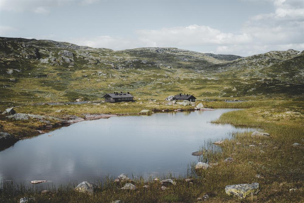
At the Hardangervidda you are in the wilderness. There are no shops, doctors, restaurants, ATMs, or telephones. You can be several days hiking from the nearest road.
You can buy provisions and stay overnight the lodges operated by the Norwegian Trekking Association. You can pay by leaving a cash payment, or by filling out a payment form. In the staffed lodges you can pay by debit or credit card.
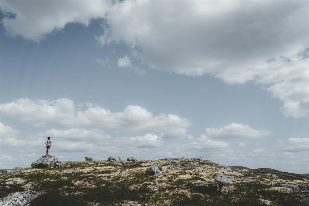
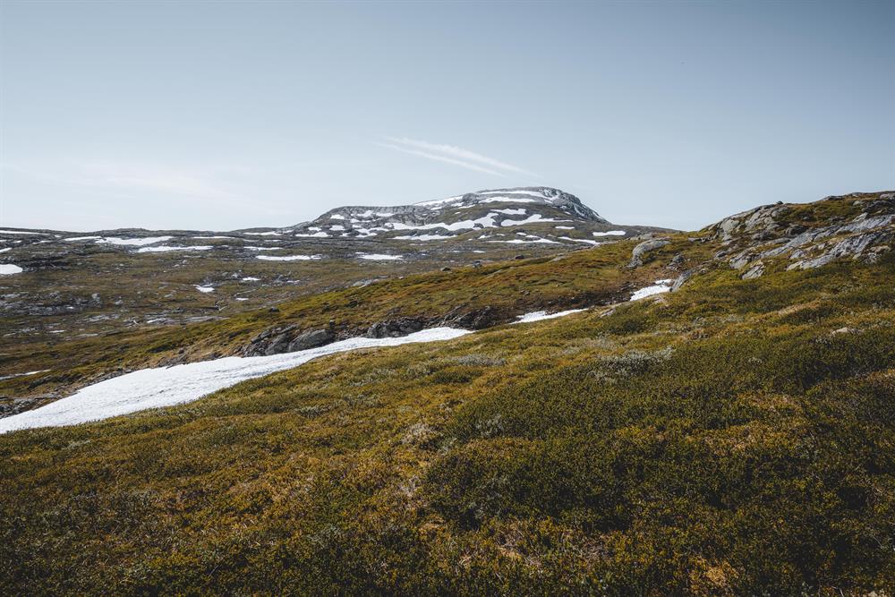
Hiking is possible when Hardangervidda is snow free, normally in July and August. Winter can come quickly and without mercy, even early in September.
Do not put yourself and others at risk by hiking outside the season, or by not being properly prepared and equipped. Every year there are tourists who are rescued by local volunteers.
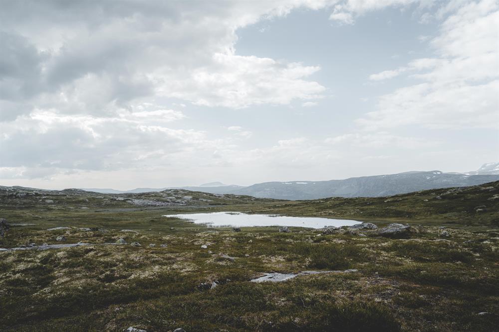
Bring warm, water and wind proof clothing. The weather in the high mountains is different from the weather down by the fjords. Be prepared for low temperatures, also in the summer. Weather can change rapidly and unpredictably. It can be good weather down by the fjord and foggy and cold in the mountains.
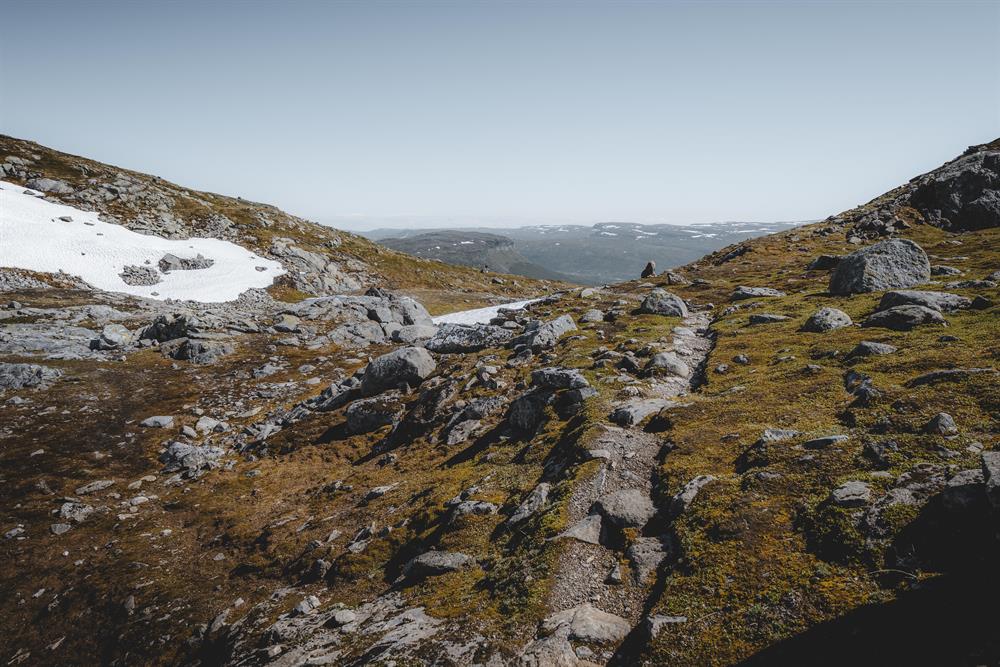
Always have a topographical map (at least in scale 1:100.000) and compass (and even a GPS). In Norway, even if a trail is marked, it can be difficult to see it, and a map and compass enables you to orientate. Be especially aware of fog in the Hardangervidda, which is not a problem in lower areas.
Buy hiking maps at the local tourist offices, or order a map online at kartbutikken, or by e-mailing the Norwegian Trekking Association at turinfo@dntoslo.no. You can also print you own topographical map (for free) in scale 1:25.000 or 1:50.000 by using an online map tool. The quality of hiking maps for sale is much better, as the paper quality is weather proof. The maps for sale contain more relevant information about marked trails, estimated time for the marked trails, mountain lodges etc.
Distances in the wilderness are given in time, NOT kilometers. Norwegian standard walking time is a fast pace. You will find this information given in hours in tour descriptions and in hiking maps. You need to add time to the standard walking time, and also add time for breaks. Which means that a 6 hour hike is really a full day's hike. An 8 hour hike is long day’s hike. Be aware of elevation differences; 4 km in a flat landscape is very different from 4 km with an ascent of 1,000 meters! Downhill is just as demanding as uphill, especially if you carry a heavy backpack.
If you plan to hike several days in the Hardangervidda, you need to be physically fit for it.
You have no access to electricity in the mountains; bring enough batteries. You use more power in cold weather.
You do NOT have mobile coverage everywhere in the mountains, and NO access to internet. If something happens, you will most likely not be able to phone for help. It can be several days hiking to the nearest road.
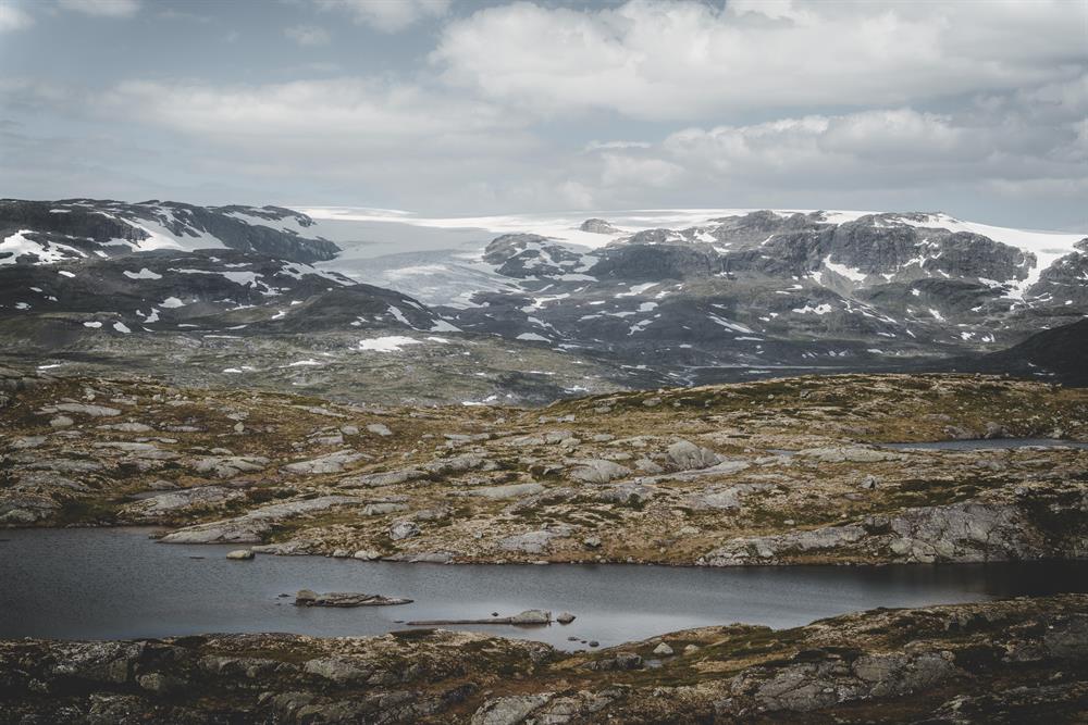
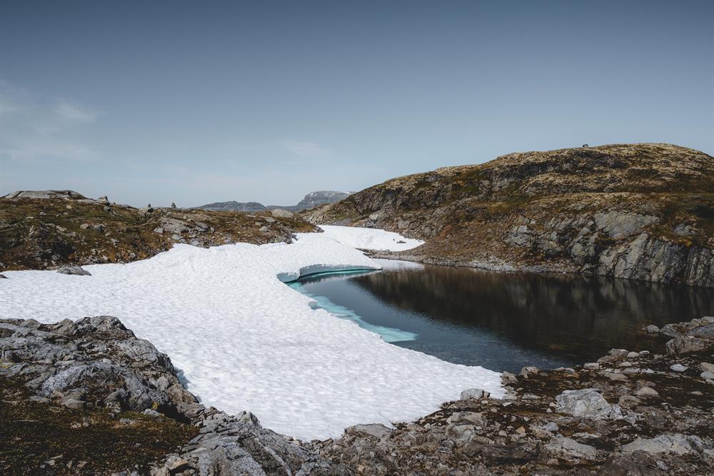
As a rule you can drink the water in the Hardangervidda, but there is no guarantee that it is safe. Be especially aware of the water in areas where many people go (like the trail to Trolltunga), and in smaller ponds.
Take all waste with you.
Nature in the high mountains is extremely vulnerable. Do not disturb animals and birds, do not destroy vegetation.
From 15th April to 15th September making fire near or in woodlands is prohibited.
If you fish in lakes and streams and rivers you need a permit from the land owner. Buy fishing permits online at inatur , at the lodges in the Hardangervidda, or at the local tourist offices.