
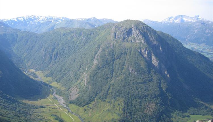
Hike to Hattebergsdalen
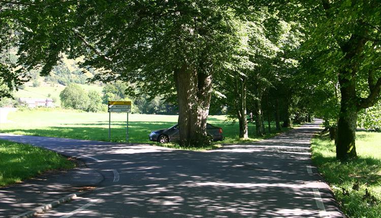
Location Rosendal. Overview Through the Baronihagen Park to the main road behind the Baroniet. On a quality gravel road past the Hatteberg farms and through Hattebergsdalen to Murabotnen where the road ends. ...
Contact information

About
Location
Rosendal.
Overview
Through the Baronihagen Park to the main road behind the Baroniet. On a quality gravel road past the Hatteberg farms and through Hattebergsdalen to Murabotnen where the road ends.
Map
Folgefonna National Park
Rosendal Turgruppe’s route map.
Start and stopping point
Baroniet Rosendal
See alternatives under “Overview” below.
Parking
The parking lot at Baroniet Rosendal.
Marking
Good gravel road with no markings.
There is an information board by the entrance to Hattebergsdalen.
Grading
Green
See under “Recommended Advice”
Difference in altitude
40 - 190m AMSL
Estimated Time
2 hours round trip
Recommended advice
An alternative start and stopping point can be the parking lot at Fossberg by the entrance to Hattebergsdalen. The hike will then have almost no incline and is better suited for baby carriages, children on bikes and motorized wheelchairs.