Hike to Malmangernuten from Hattebergsdalen

Hike to Malmangernuten from Hattebergsdalen

Start and end point:  Fossberg, at the entrance to Hattebergsdalen Parking: Follow the sign "Baroniet" from the quay area in Rosendal to the road sign "Fossberg" in the road section before the Baroniet. Parking s...

About

Start and end point:

 Fossberg, at the entrance to Hattebergsdalen

Parking:

Follow the sign "Baroniet" from the quay area in Rosendal to the road sign "Fossberg" in the road section before the Baroniet. Parking space on Fossberg at the entrance to Hattebergsdalen.

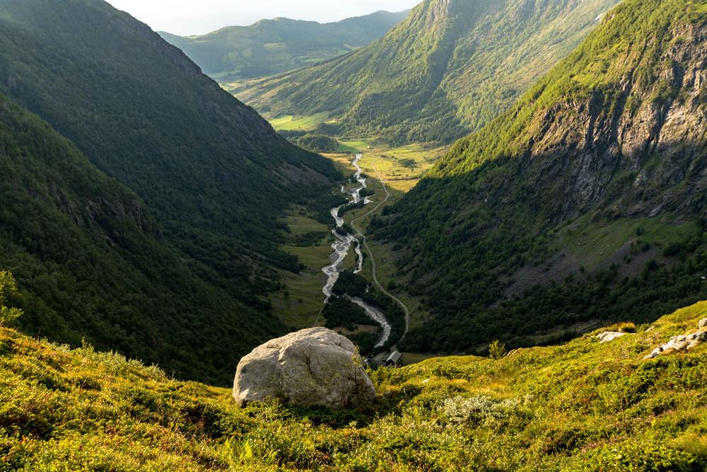
Marking: Information board at the car park. First on 2.3 km unmarked dirt road, then T-marked and signposted on the path up Murabotnen.

Altitude difference: 150 - 890 m.a.s.l.

Hike description: From the parking lot at Fossberg you walk 2.3 km along a dirt road to the end of the valley. The path goes up Murabotnen, and then right in the crossing to Skeisfjell. You will pass the path towards Guddal and continue along the ridge between Guddalsdalen and Hattebergsdalen, out to Malmangernuten. View of waterways and mighty mountain areas, villages, fjords and sea.

Good advice: In case of high water flow, the stream up in Murabotnen can be difficult to cross. Somewhat steeply above the stream. Alternative return to Fossberg can be to Guddal or Rosendal. Follow signs and markings from Malmangernut.

Access with your own car:

Follow road sign "Baroniet" from the quay area in Rosendal to road sign "Fossberg" in the road section before Baroniet. Parking space on Fossberg at the entrance to Hattebergsdalen.

Access by public transport:

Check the travel planner at skyss.no.

Distance
Duration
Grading
Nature and terrain
Season

Map