Vassenden - Vatnasete

Vassenden - Vatnasete

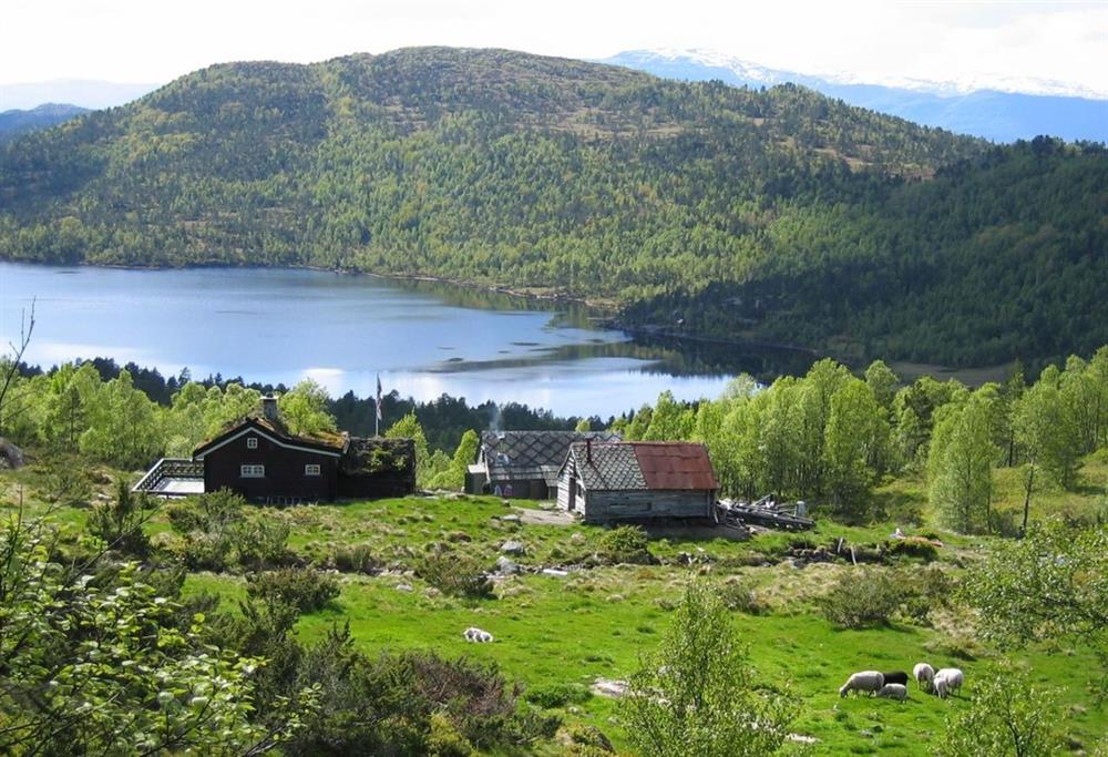
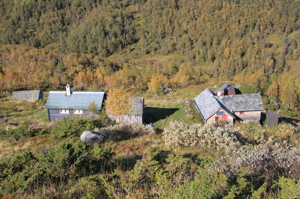
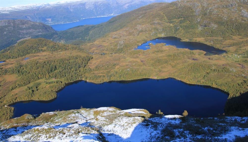
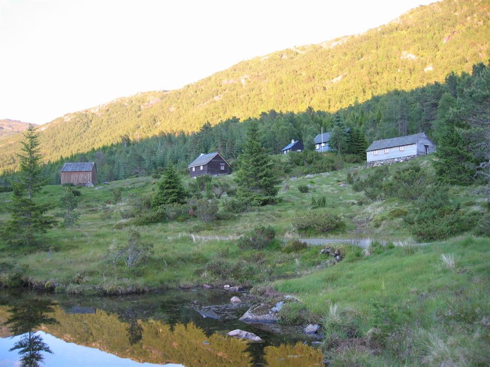
Hike in idyllic surroundings, with farmsteads and lakes.

rose
Contact information
Address
Phone
Mail

About

Starting point

Take road 105 from Jondal towards Folgefonna glacier. After 5.0 km follow the road on the left hand side,  by the road sign to Molve. After 160 m (passed a bridge) you keep to the road leaving on the right. Then after 700 m choose the gravel road going left. After about 100 m you come to a gate. If you continue by car this is a toll road.  From here the gravel road (2.8 km) is good and ends at a good car park. Parking at own risk.

About the trail

The last bit of the road going right (200 m) ends at Vassenden. Here you can find the information board which describes the hikes in this area. If you go 20 m further up you can find the hiking signs for Stuasete and Knutstøl. Follow the route to Stuasete, which will take you along the lake side of Vassendevatnet, over marshland before it then rises up to the mountain cabins of Stuasete. Hiking signs here show the routes to Dåren and Vatnasete. Take the route towards Vatnasete. The path rises easily up to the mountain cabins at Eggjasete and then descends abruptly down to the lake, Vatnasetevatn. After passing around on the left (west) side of the lake you will find the signs marking the routes for Solhaug, Fodnastøl or back to Stuasete. Vatnasete is situated further on, in the direction of Solhaug, not far from this connecting point in the trail.


Parking: see "starting point". 
Parking fee: free, but there is a toll road fee to drive up to the parking. 
Length: 4,2 km
Total walking time: 4 hours
Season: May - November 
Difficulty: Green, easy

Distance
Duration
Grading
Season

Map