
Hike to Malmangernuten from Rosendal

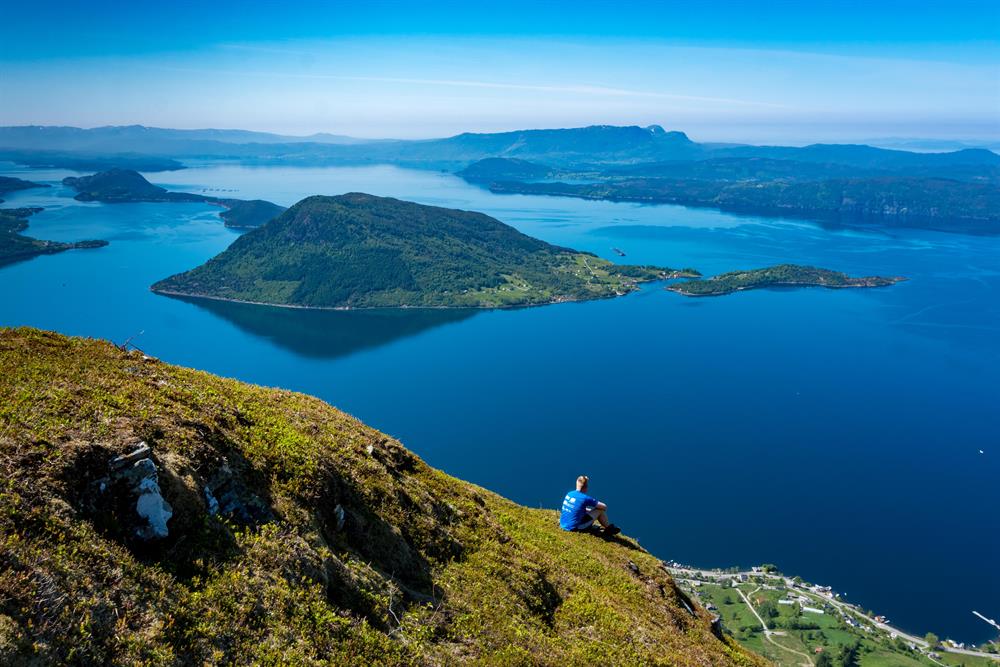


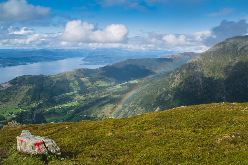
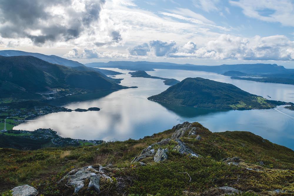
The Malmangernuten hike, which takes about 4 hours in total, can be started from the Rosendal Fjordhotel in Rosendal. The summit is at 890 meters above sea level and from here you have a great view over Rosendal, the neighboring towns and the Hardangerfjord.
Contact information
About
Location
Rosendal
Overview
From the parking lot by the Rosendal Fjord Hotel across the highway to the signs/markings along the walkway to Skeie where the path begins up the hill.
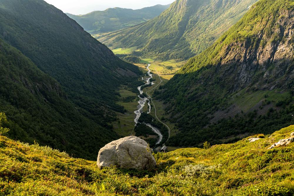
Before the tree-line, the path goes through outlying fields and mixed forest. There is a beautiful view of Rosendal and the neighboring towns between Sunnhordland and Hardanger, with ocean, fjords, waterway nature and majestic mountain areas.
About
Map
Folgefonna National Park
Rosendal Turgruppe’s route map.
Start and stopping point
Rosendal Fjordhotel.
Parking
Rosendal Fjordhotel.
Marking
There is an information board across the highway from the Rosendal Fjord Hotel. The T markings and signs start by this information board.
Grading
Red
Moderate hike, three boots according to the DNT system.
Difference in altitude
0 - 890m MASL
Estimated Time
4 hours round trip
Recommended advice
An alternative return may be the path from Malmangernuten along the mountain ridge between Guddalsdalen Valley and Hattebergsdalen Valley to where the path divides towards Skeisfjell, and from there down Murabotnen to the toll road at Hattebergsdalen Valley. See the Malmangernuten route from Hattebergsdalen.