
Kysnes - Grønrimb
A hike in varied terrain to Grønrimb, with fjord views.
Contact information

About
Starting point
Follow road 107, going south from Jondal centre. After about 5.5 km take the first road leaving to the right at the roundabout. After another 10.1 km you arrive at Kysnesstranda. On the left hand side of the road, by the Øykhagen housing estate you can find the information board and hiking signs marking the route to Grønrimb. Turn off onto the forest road. If continuing by car there is a fee (toll) asked. After about 1.5 km there’s a sharp bend to the right and a good car park on the left. Parking at own risk. You will find the hiking sign showing the route to Grønrimb.
About the trail
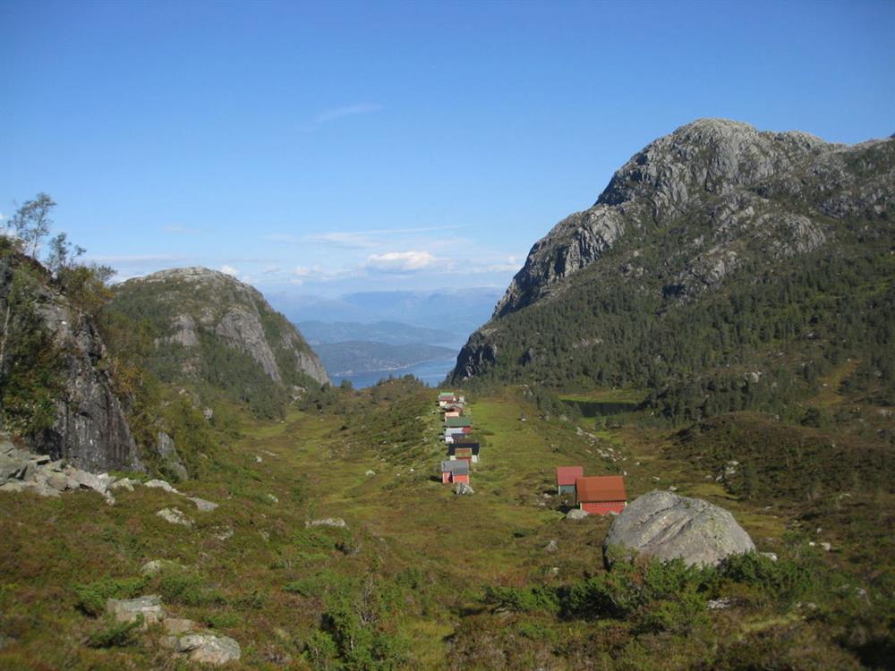
The hike starts on the farm track (which is not marked) and goes 1.5 km up the hill. At the end of the farm track you continue on a good but partly marshy woodland track. After reaching the tree line the terrain flattens out. The hike comes to a marsh area (Storemyr) and the markers show the route across the marsh. If you don’t have waterproof footwear it might be better to choose the right side of the marsh. You arrive shortly at a small lake, Vesla Raunlivatnet. The path continues along the lake until it meets with another path. (Here you can choose the hike down to Grotnes.) Continue towards Grønrimb. This will bring you down to Stora Raunlivatnet, which is not far from Grønrimb. There you can choose to move on to the other hikes that are shown on the information boards at the main road, to make it a roundtrip.
Parking: see "starting point"
Parking fee: free, but there is a toll road fee to drive to the parking.
Length: 3,7km
Total walking time: 4 hours
Season: May - November
Difficulty/ grading: Blue, medium.