A steep hike in varied landscape and terrain with mountain cabins and views along the way.
Starting point
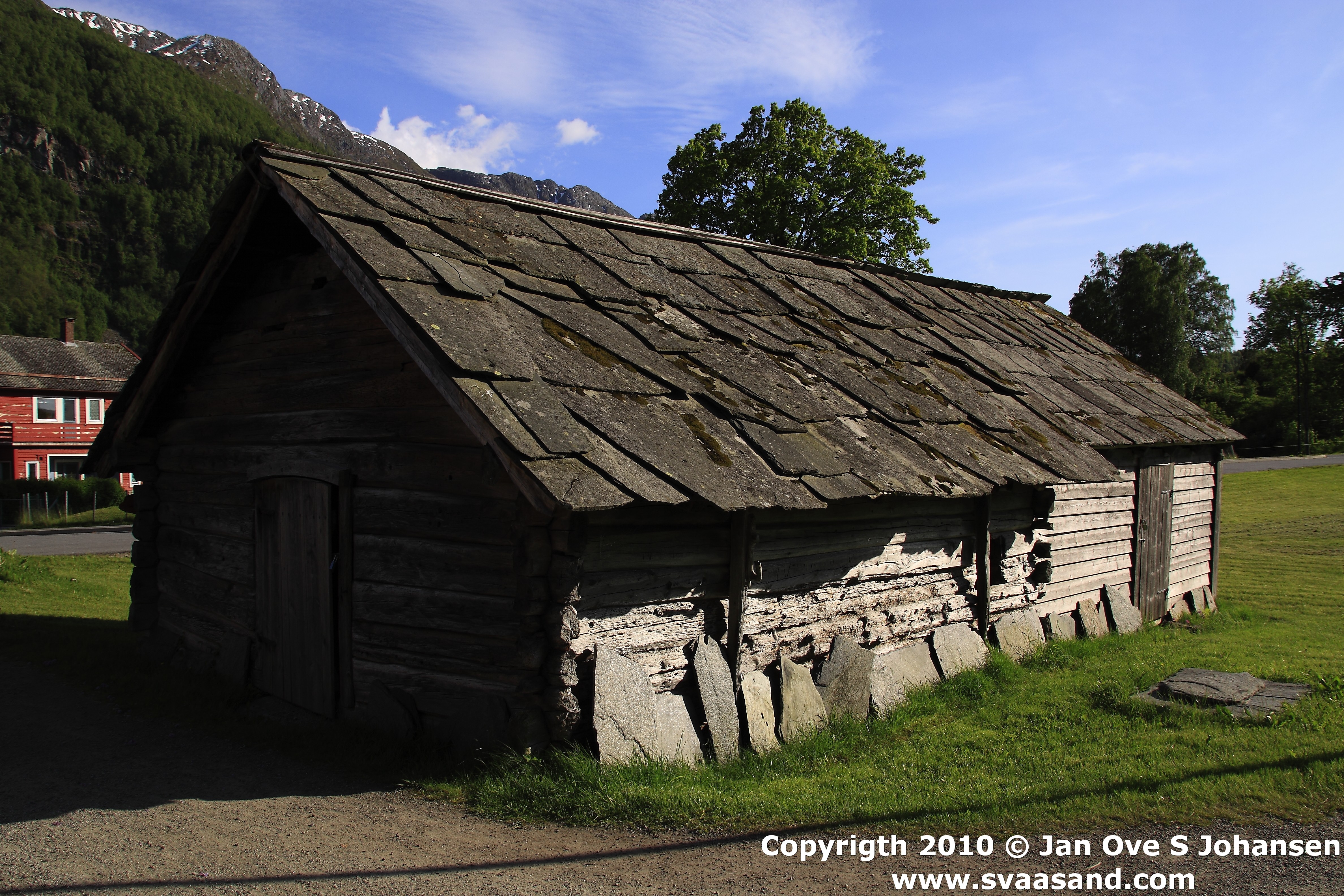
1.0 km south of Jondal centre on road 107. Information board and hiking sign at the parking spot on the left (east) side of the road. Parking at own risk.
About the trail
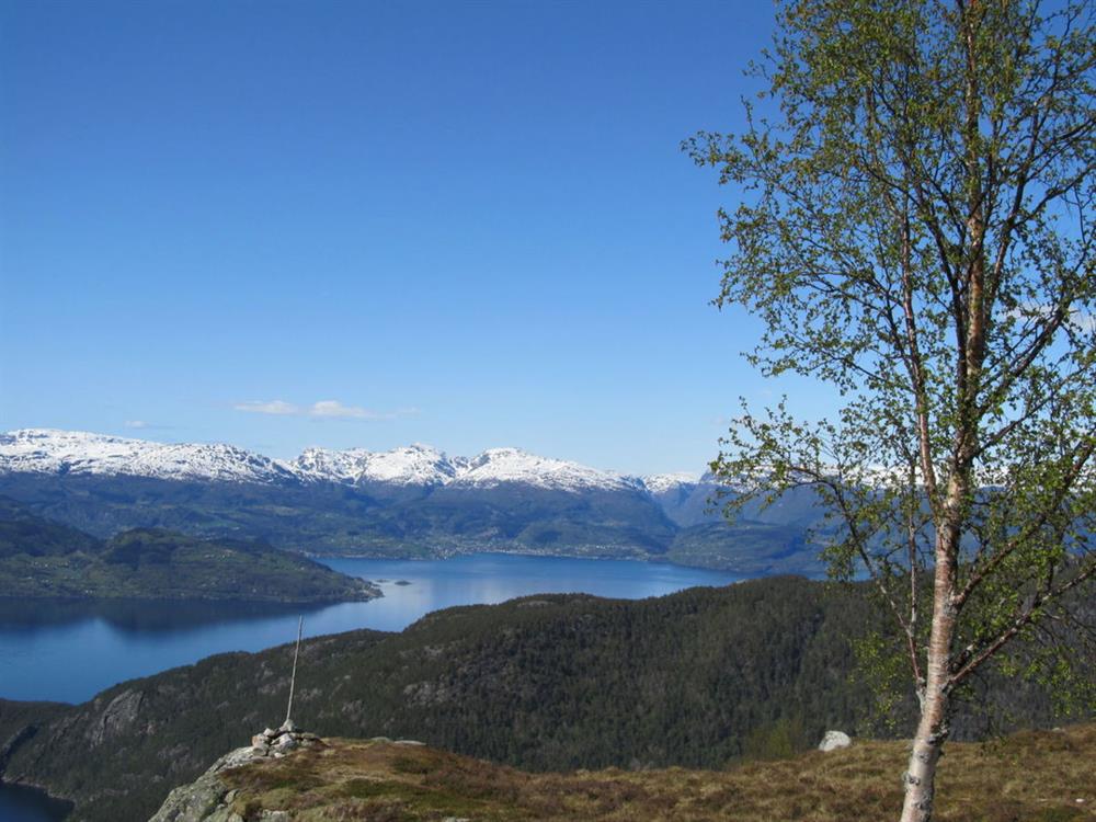
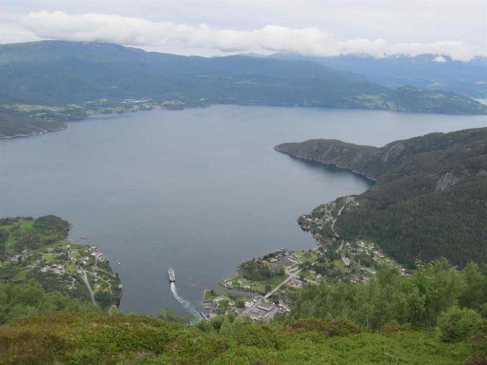
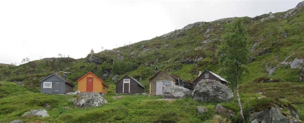
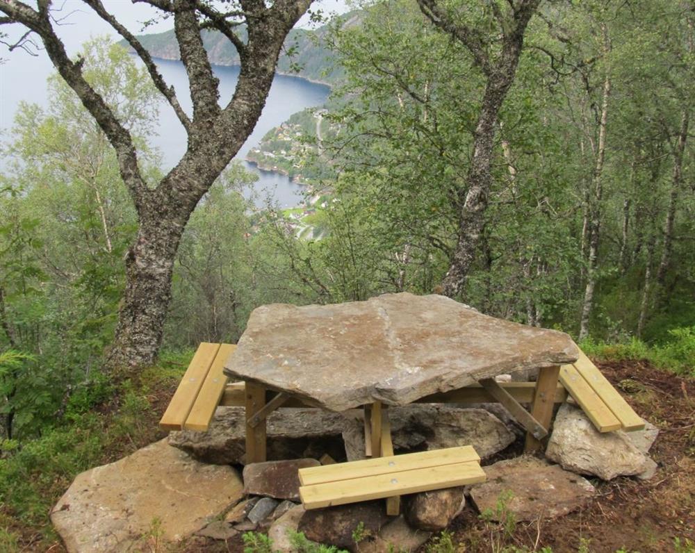
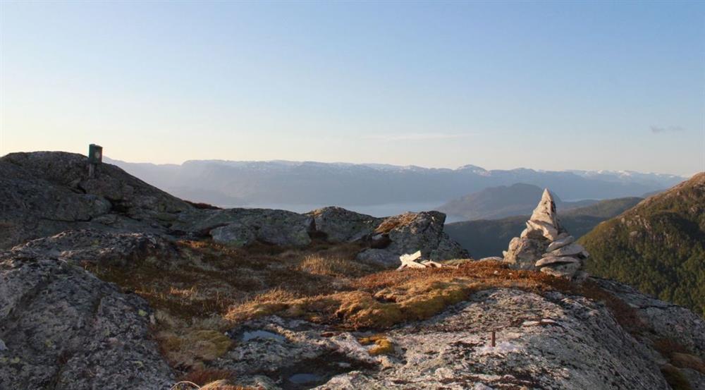
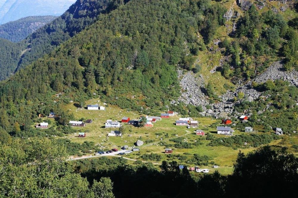
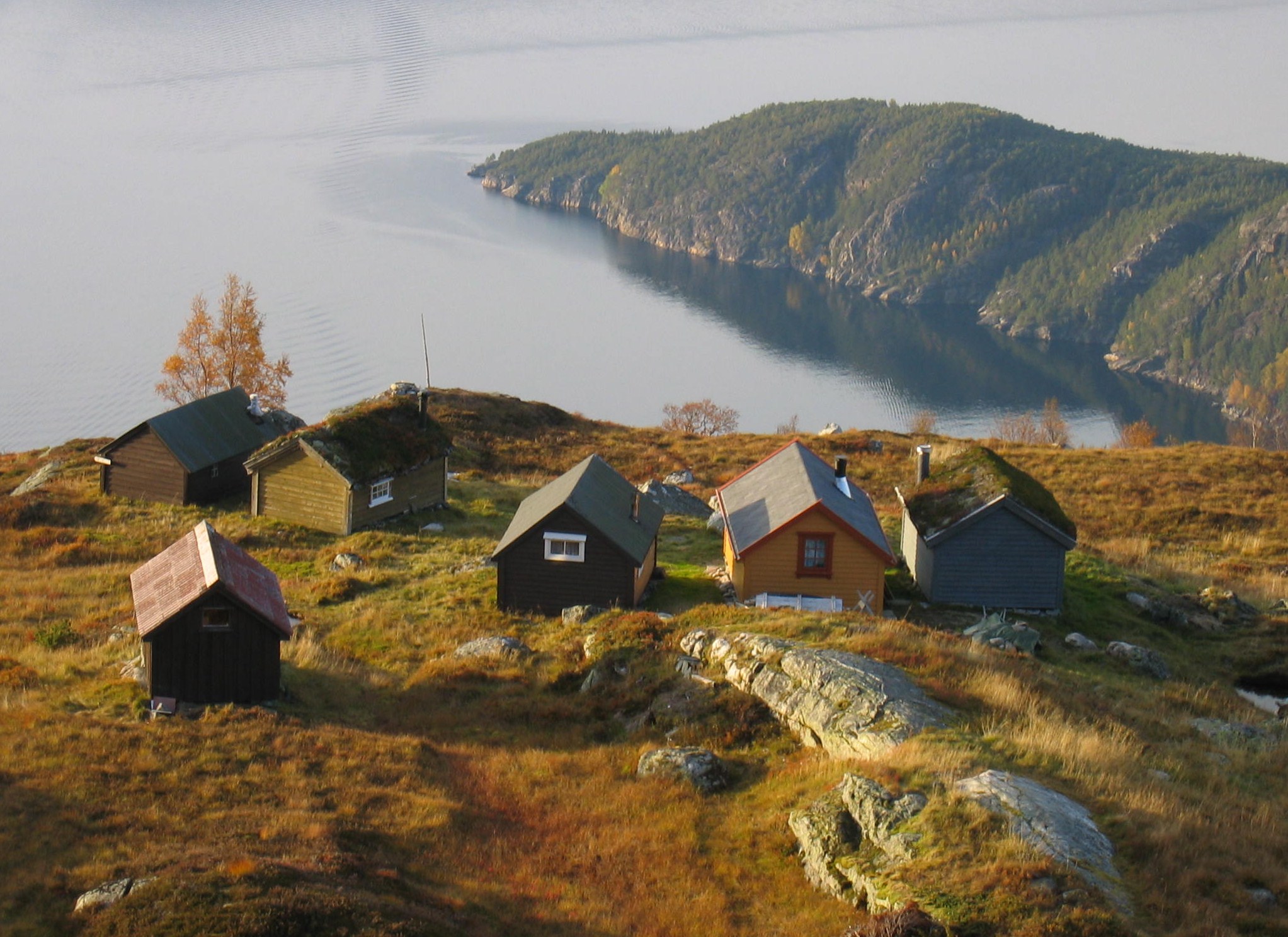
The start of the hike is on a good forest path. You come to a fork in the path after about 15 minutes. The hiking sign shows the routes to Fjellstøl and to Vikanuten. Follow the trail to Fjellstøl. Initially it takes you steeply through a spruce forest. Halfway up to Fjellstøl you reach the deciduous woods and a few open parts with the chance of a view. Fjellstøl is positioned just above the tree line. There is a visitors book in which you can sign your name in a box near to the cabins. You can get a superb view of the Jondal village if you make a detour to the antenna about 100 m north west from the cabins. Above the cabins you can find the sign marking the routes to Vikanuten and Breidsete. Take the route towards Breidsete. It moves through an undulating mountain terrain towards Tveddalsnotten. (Tveddalsnotten is unmarked. You can find the top 5 minutes to the left of the trail at its highest point. From here is a superb view of Breidsete, the destination of this hike, but please note that the mountain is dangerously precipitous toward the east.) The marked trail then descends steeply to Torsnesmyrane where you meet a path with the hiking signs for Breidsete and Fjelltveit. Continue towards Breidsete. Shortly you will be able to view the mountain cabins. The path goes down to a bridge, then up 100 m to finish at the end of the road. Here you can find the information board for the hikes in the area.
Parking: see "starting point"
Parking fee: free
Length: 6 km
Total walking time: 7-8 hours
Season: May - October
Difficulty/ grading: Red, demanding