Våhaug - Vatnasetenuten

Våhaug - Vatnasetenuten

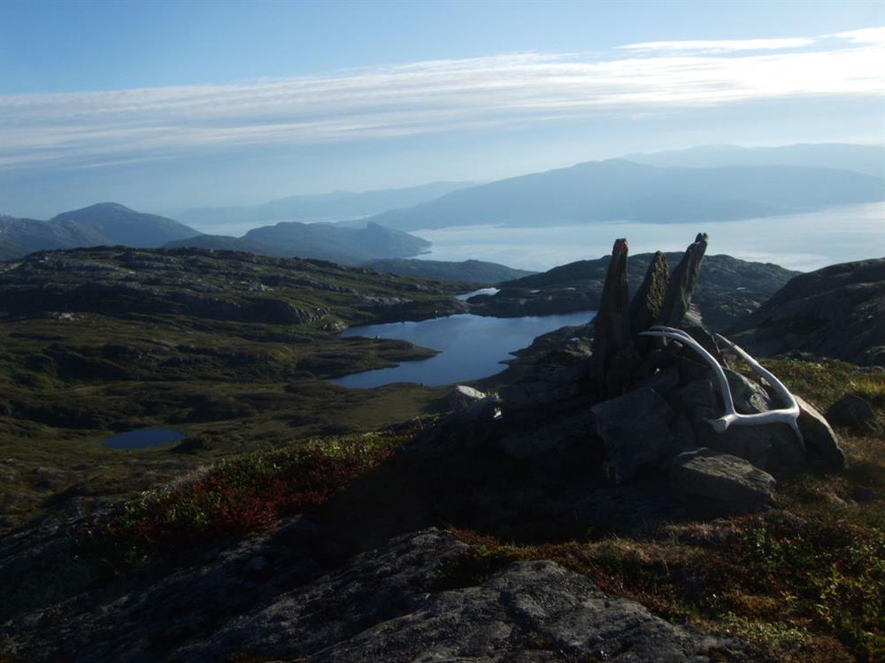
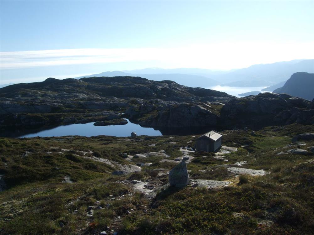
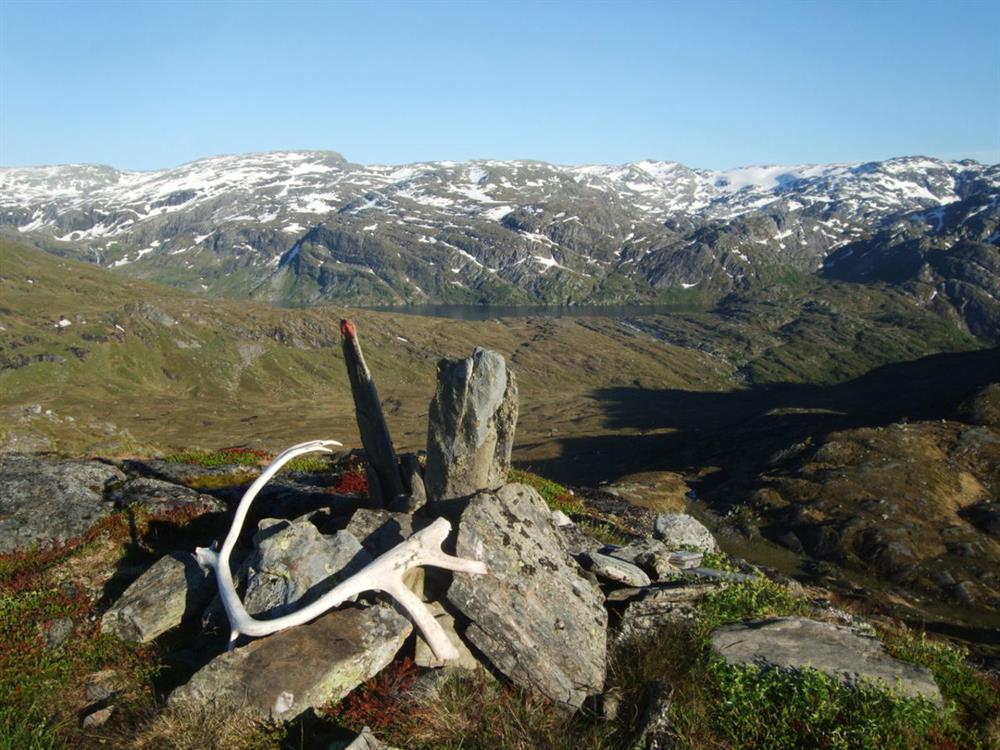
The Våhaug - Vatnasetenuten roundtrip offers great views in all directions.

rose
Contact information
Address
Phone
Mail

About

Starting point​​​​​​

From Herand quay, drive 4,1 km North on road 550 towards Utne. After 4,1 km you leave road 550 and head East on a forest road just before the highest point of road 550 (called Åsleite). There is an information board here. You have to pay a small toll road fee to be allowed to keep driving on this forest road. You will find parking at the very end of this road. 

About the trail

There is an information board by the parking. Walk ca. 50 meters to a bridge where you will find signs for Vatnasetenuten and Tostøl. This hike is a roundtrip and this trail description describes going in the direction of Tostøl first. The level of difficulty is very similar if you choose to go in the opposite direction. Walk across the bridge to Tostøl. The path is relatively easy, but there are some slightly challenging parts. There are some wet sections of the trail where larger rocks have been laid out. After about 1 hour you arrive at the top of Saurdalen, where the trail divides and you can choose if you want to go to Vatnasetenuten or Tostøl. Follow signs for Vatnasetenuten. After some slightly challenging sections you will be rewarded with great views in all directions. Keep walking north all the way up to Vatnasetenuten. The views from the top are great. The trail from the top and down towards Våhaug is steep in the beginning, but other than that it is fairly easy. 

Parking: Våhaug
Parking fee: free, but to drive the forest road up to Våhaug you need to pay a toll road fee.
Length: 8,9 km
Total walking time: 4 hours​​​
Season: May - October/November 
Difficulty: red, demanding 

Distance
Duration
Grading
Season

Map