Våhaug - Tostøl

Våhaug - Tostøl

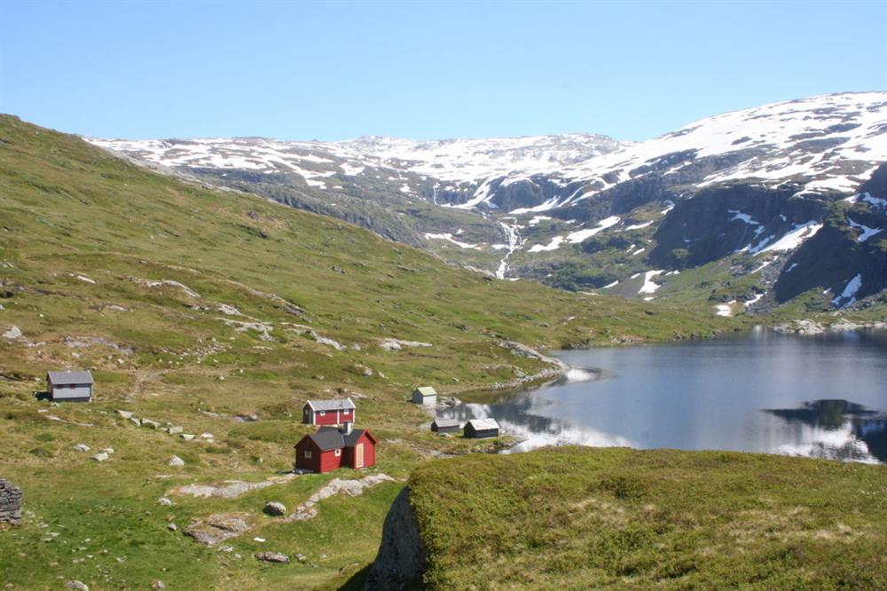
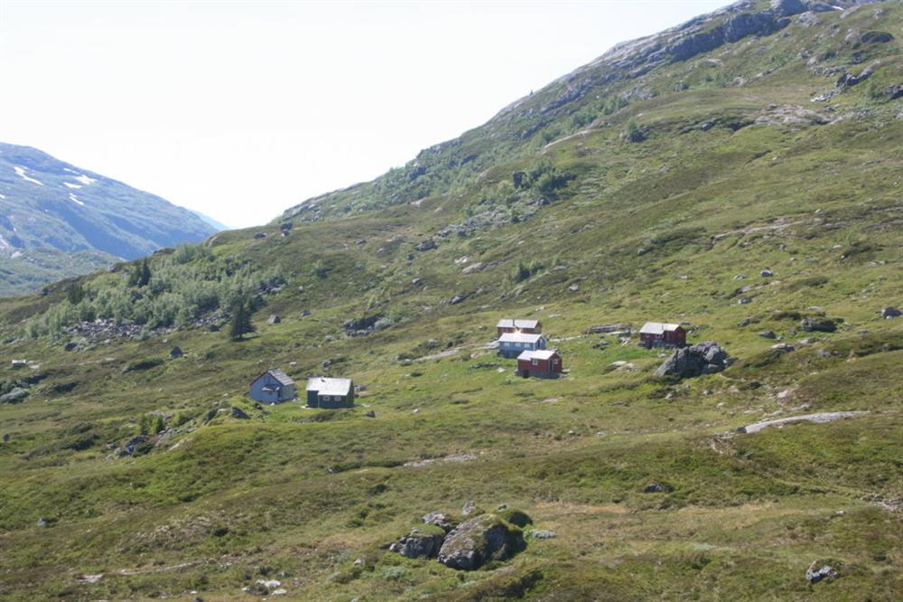
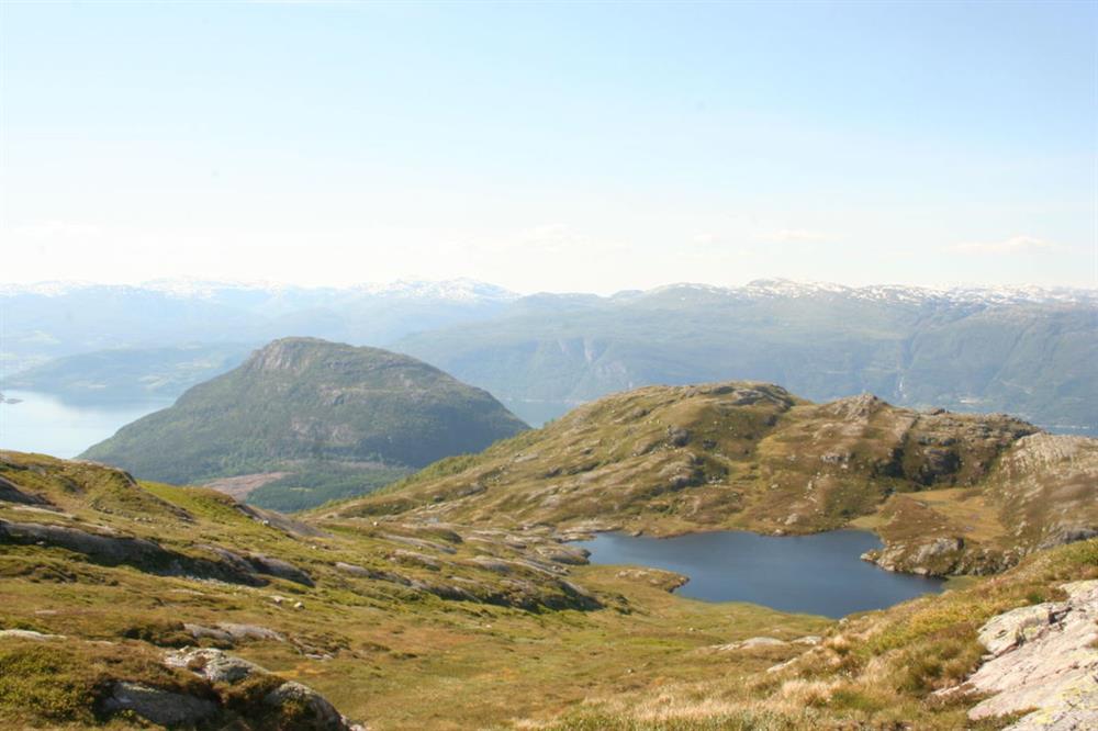
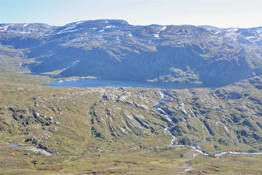
Hike to idyllic Tostøl with great views on the way

rose
Contact information
Address
Phone
Mail

About

Starting point

Take road 550 to the north from Herand quay. After 4.1 km, and slightly south of the highest point in the road (Åsleitet) you leave the main road (eastwards) and follow onto a forest road. You will find an information board there. If you continue by car this is a toll road. The pay point is 100 m in from the main road. There is a good car park at the end of the road (Våhaug). Parking at own risk.

About the trail

There is an information board by the parking. Proceed to the bridge and find the signs marking the routes to Vatnasetenuten and Tostøl. Follow the trail to Tostøl. The path is fairly easy with a few short inclines. Stepping stones have been laid out in the muddy parts. Shortly you meet a branch in the trail with markers for Tostøl and Såta. Follow the trail to Tostøl. After about 1 hour you reach the top of Saurdalen where the trail divides. Here you find markers for Vatnasetenuten and Tostøl. Take the path to Tostøl. Shortly you arrive down at the mountain cabins at Samdalsstølen with the lake Viddalsvatnet below. Tostøl is about half an hour further on.


Parking: Våhaug, find more information under "starting point"
Parking fee: free, but to drive the road up to Våhaug you need to pay a toll
Length: 4,9km
Total walking time: 4 hours, 30 mins
Season: May - October/November
Difficulty: Blue, medium 

Distance
Duration
Grading
Season

Map