HM Queen Sonja’s panoramic hiking trail
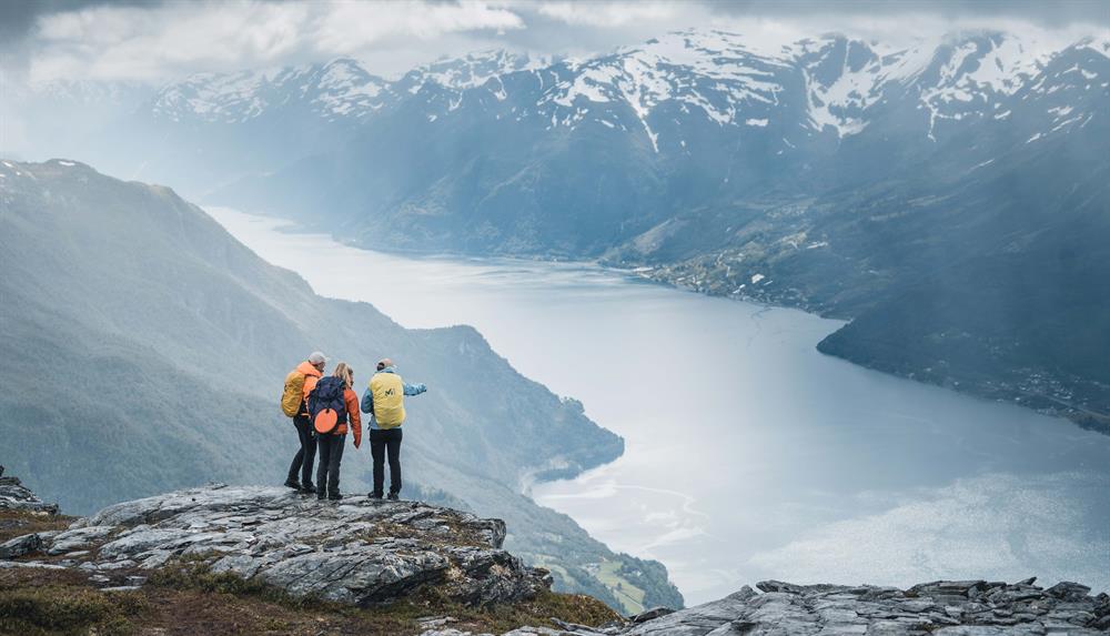
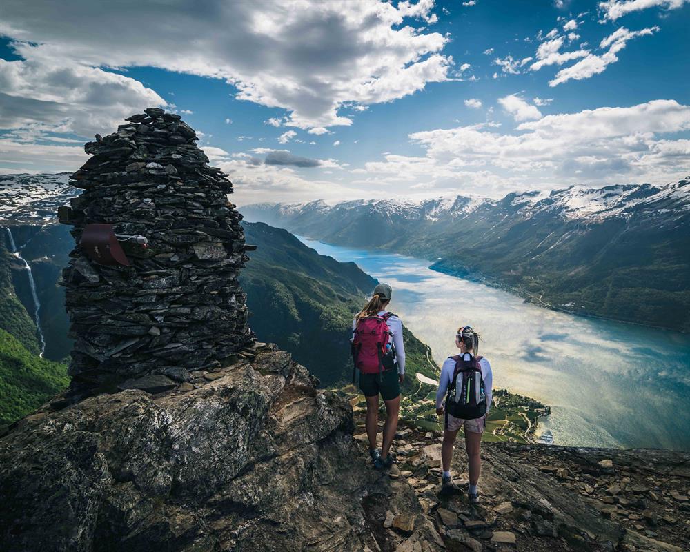
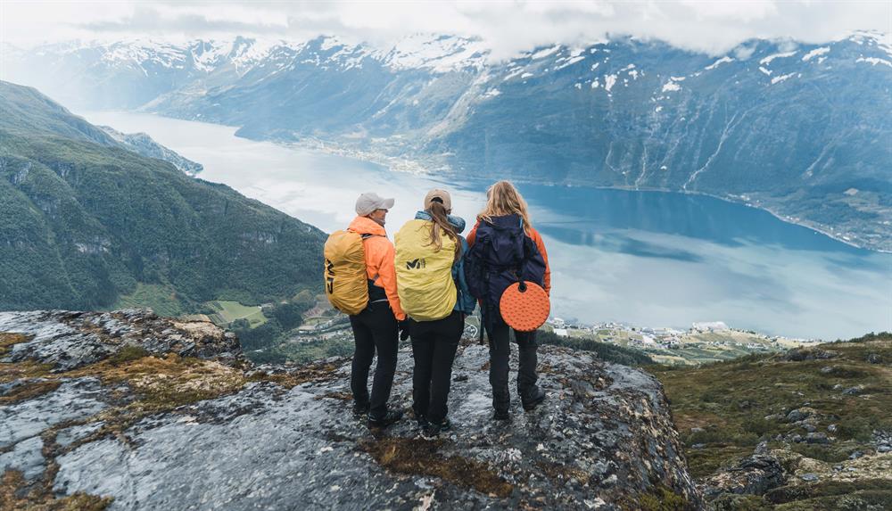
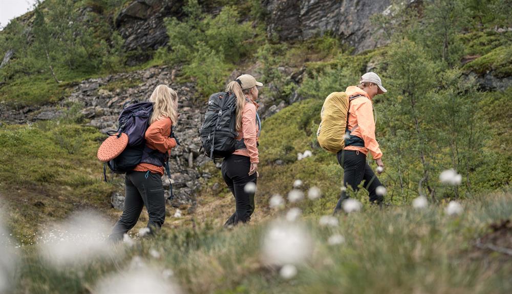
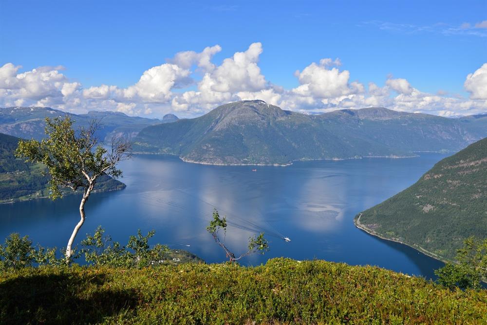
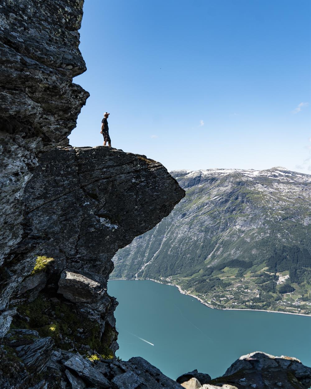
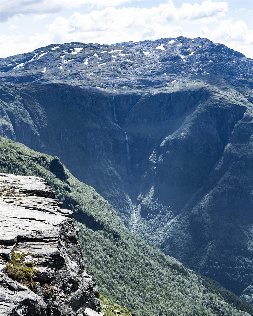
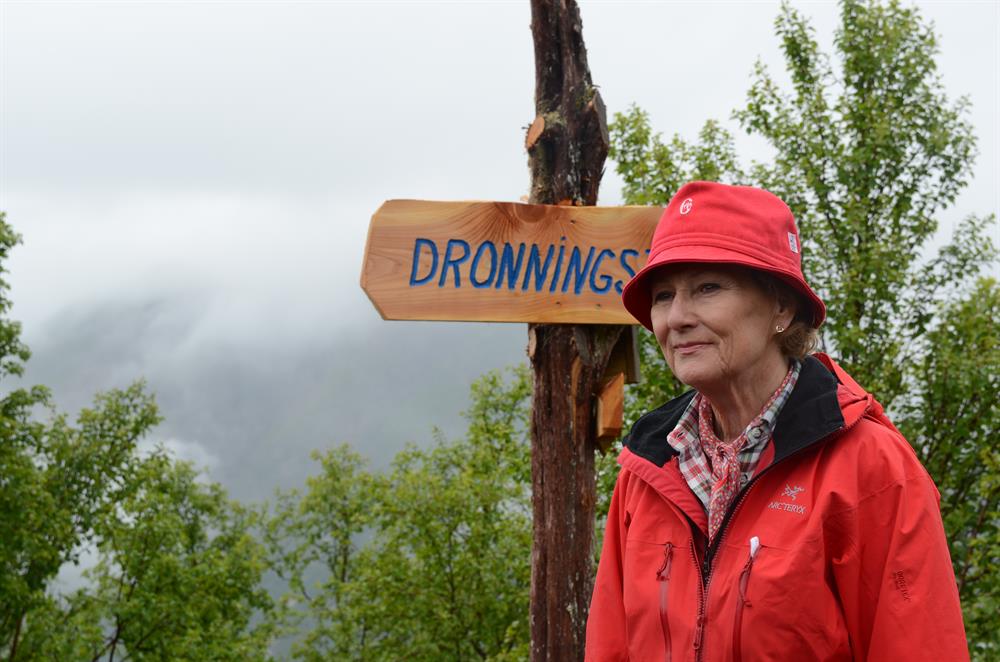
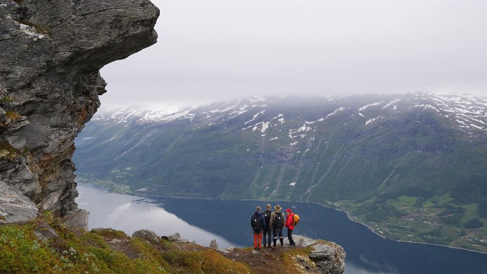
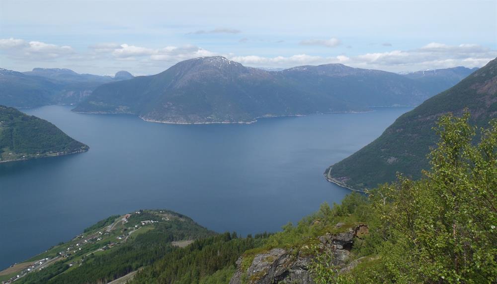
Experience "Dronningstien" in Hardanger – one of the most beautiful and popular hiking trails in Norway. Get up close to mighty nature and enjoy the beautiful views from one of H.M.Queen Sonja's favorite hikes.

Contact information
About
Note: Forestry work is currently taking place along the forest road in Lofthus from Monday to Thursday until the end of June. Please keep a safe distance from machinery and timber trucks, follow all signage in the area, and do not stay near stored timber.
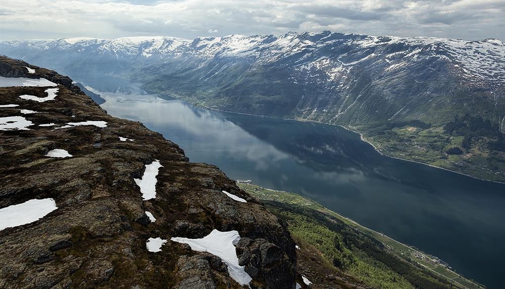
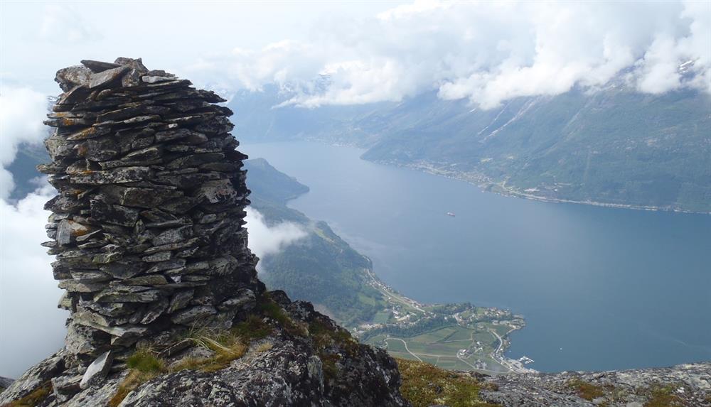
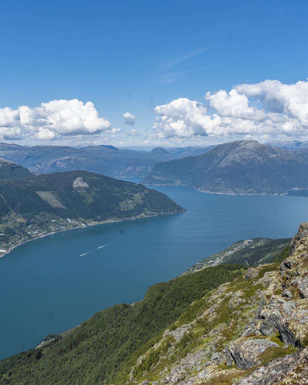
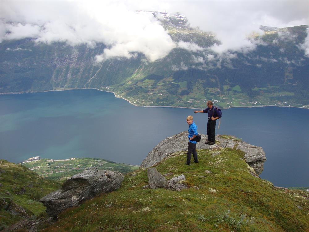
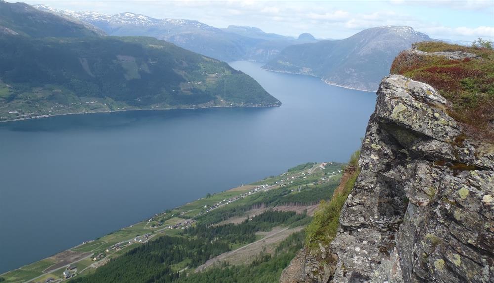
The H.M. Queen Sonja’s Panorama Hiking Trail, known in Norway as “Dronningstien” (Queen’s Path) in Hardanger, has become one of Norway’s most popular hiking trails. It is also one of H.M. Queen Sonja’s favorite hiking trails – given the spectacular view over the Sørfjorden during the entire hike, that is easy to understand!
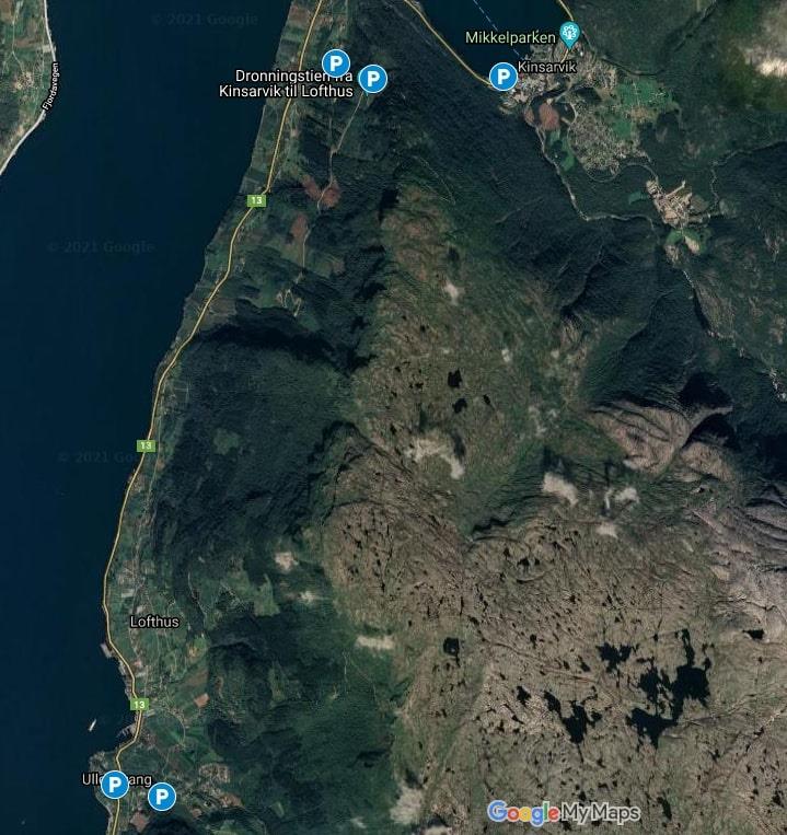
The trail leads through the high mountains between Kinsarvik and Lofthus. The hike takes about 6 - 9 hours and has a total difference in altitude of 1,100 meters - in other words; it is a strenuous hike. But you will be rewarded with the unique contrasts in the Hardanger landscape - the terrain varies from forest to high mountains and lush orchards with thousands of apple trees. Additionally, you will have a fantastic view over the Sørfjorden, parts of the Folgefonna Glacier, and scenic nature.
FAQ
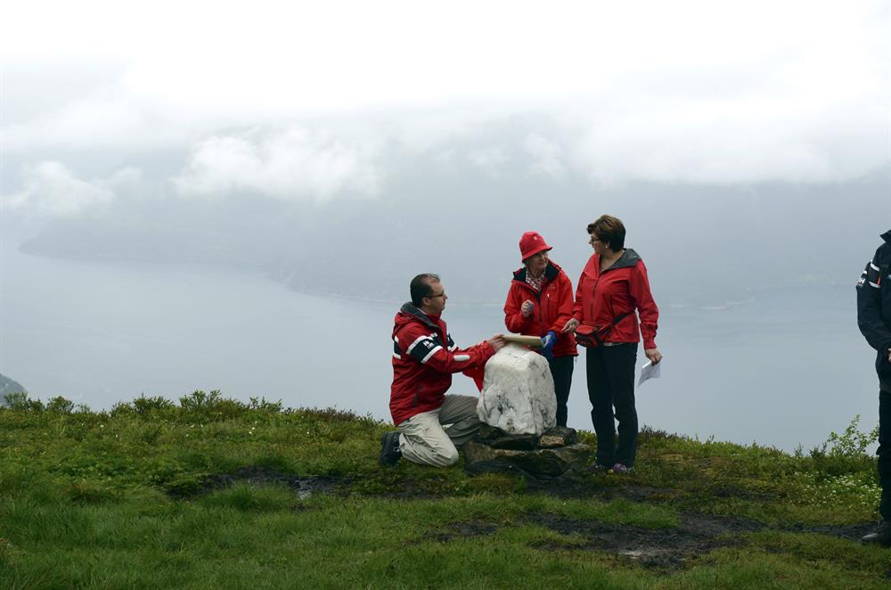
Dronningstien — officially H.M. Queen Sonja's Panoramic Hiking Trail — is a demanding 14.1 km one-way mountain hike in the Hardanger region of western Norway, running between Kinsarvik and Lofthus above the Sørfjorden arm of the Hardangerfjord. Queen Sonja, Norway's queen and a lifelong outdoor enthusiast, opened the trail on 29 June 2013; it is one of her favourite hikes in the country. The trail is marked with blue 'D's — D for Dronning (queen) — after her own instructions, and the final descent to Lofthus follows the red 'T'-marked route via the Munketrappene (Monk Steps). With views stretching across to the Folgefonna glacier and the Hardangervidda plateau throughout the hike, it is easy to understand why the trail has become one of Norway's most visited.
Dronningstien is a challenging hike requiring basic mountain experience, but it is considerably more accessible than Trolltunga. Trolltunga is a return trip of around 28 km taking 10–14 hours; Dronningstien is 14.1 km one way and takes 6–9 hours, with 1,100 metres of total elevation gain. The terrain varies from forest road and rocky mountain trail to boggy sections on the plateau, and the final descent via the Monk Steps is steep on tired legs. You do not need to be a seasoned alpinist, but you should be comfortable with a full day's mountain hiking, own proper waterproof boots, and carry food and layers for changing mountain weather. Trainers are not recommended — the top can be wet and muddy even in July. If you are not ready for Dronningstien, Bondhusvatnet (4.6 km round trip) is a gentler Hardanger alternative.
Most hikers start at Røte on the Kinsarvik side. Drive to Kinsarvik — about 2.5 hours from Bergen via Rv 7 through Hardanger — turn off at the Esso petrol station following signs for Dronningstien, and drive up to the car parks at Røte or Vassmyrane (200 NOK fee). Because the trail ends in Lofthus rather than looping back, you need return transport. Shuttlebus Hardanger runs between Lofthus and Røte/Kinsarvik — book no later than 20:00 the evening before. Without a car, a limited bus service runs between Odda, Kinsarvik and Lofthus (Skyss.no), and the trail can also be reached from Lofthus if you take a boat connection and arrange the shuttle up to Røte. Parking in Lofthus centre is limited to 4 hours; park at Røte/Vassmyrane or by the old ferry dock in Kinsarvik instead.
The main season runs from late June to mid-September when the trail is snow-free and the waymarks are visible. July and August are the busiest months; early July or early September gives you the views with fewer fellow hikers. In May and June snow can still cover the high plateau, which creates a dramatic landscape but requires more experience and equipment — some blue 'D' markers may be buried. Snow bridges and icy patches are real hazards: follow existing footprints, check the Norwegian Mountain Code, and watch yr.no before you set out. Conditions at the fjord can be warm and sunny while the summit is below zero with strong winds.
The Munketrappene are 616 stone steps cut into the mountainside on the descent towards Lofthus, one of the most distinctive landmarks on the trail. They are associated with medieval monks and lead down through orchards where apple and pear trees have grown since the Middle Ages. The steps themselves are not technically difficult, but after a full day of hiking the descent is hard on knees and ankles — trekking poles are useful here. At the bottom, you may find cold apple cider for sale from a nearby farm. The whole final stretch through the orchards, with the Sørfjorden glittering below, makes a memorable end to the hike.
Waterproof hiking boots are essential — the high plateau is frequently wet and muddy. Bring enough water and food for 7–9 hours; there are no shops or cafés along the trail, though clean streams cross the route. Carry windproof and waterproof layers: conditions can shift rapidly from summer warmth to rain, wind and cold. A charged phone with an offline map (ut.no or AllTrails), trekking poles (especially useful for the descent), and sun protection on clear days round out the kit. Some hikers bring a spare pair of light shoes to swap into for the descent through the orchards.
Yes. Starting from the Kinsarvik side puts you close to Kinsarvik village, where the medieval stone church and the fjord are easy stops before or after the hike. On the Lofthus side, Hotel Ullensvang and Lofthus Camping are natural bases, and the orchard villages along Sørfjorden produce some of Norway's best apple cider. Dronningstien pairs well with a glacier experience: Blåistur with Folgefonni Breførarlag runs from nearby Jondal, and Buarbreen near Odda is accessible on a separate day. Vøringsfossen — one of Norway's highest waterfalls — is about 40 minutes by car via Eidfjord. A two- or three-night stay around Sørfjorden lets you cover the highlights without rushing.
Families with young children can explore Husedalen with its four waterfalls in Kinsarvik — just a few minutes from Lofthus — as a shorter and easier alternative along the Sørfjorden. Bondhusvatnet in Mauranger is also worth the trip, but lies about an hour by car from Kinsarvik/Lofthus.
