Trolltunga
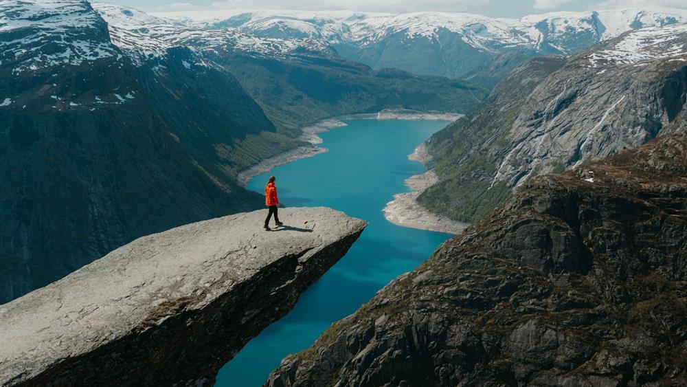
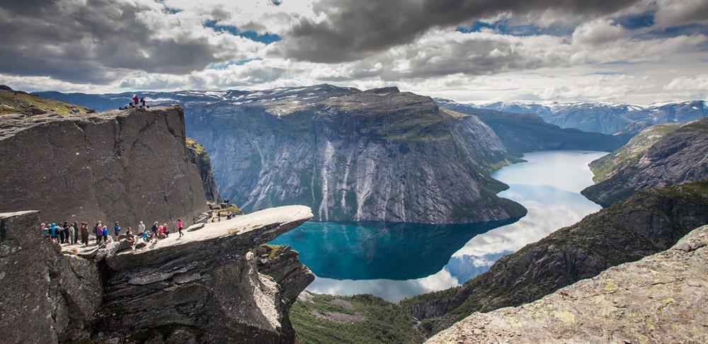
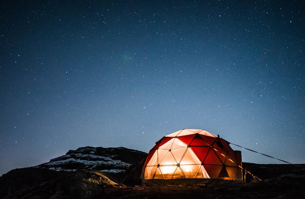
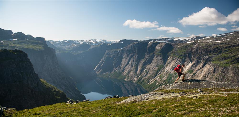
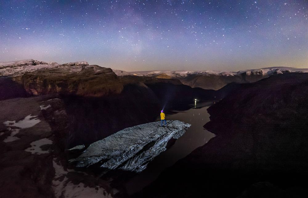
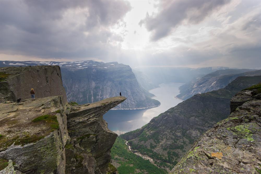
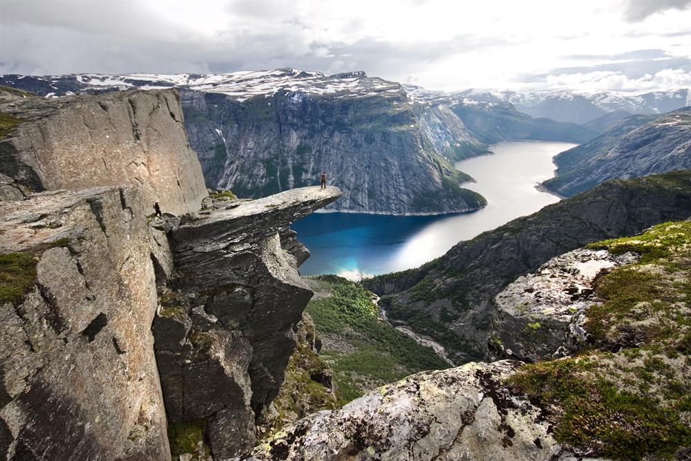
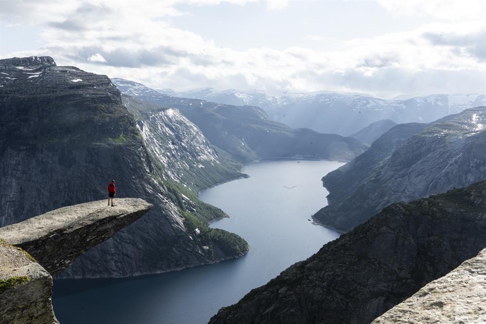
Trolltunga - also known as the Troll's Tongue - is the most spectacular rock formation in Norway. At 1180 meters above sea level, is lies about 700 meters above the lake Ringedalsvatnet. From the top, you have a fantastic view. The hike to Trolltunga starts in Skjeggedal and leads through the high mountains.

Contact information
About
Trolltunga is the most spectacular rock formation in Norway, hovering 700 metres above Ringedalsvatnet lake. The hike through high-mountain terrain up to the Troll's Tongue is long and demanding, but you are rewarded with truly breathtaking views!
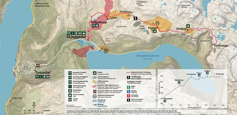
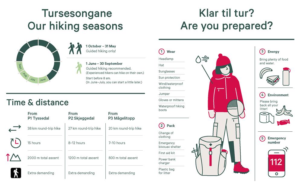
During the summer, experienced hikers may hike on their own. If you start from the P2 parking in Skjeggedal, you should allow 8–12 hours for the 27-km round-trip hike to Trolltunga. You can also start from P3 Mågelitopp, allowing 7–10 hours for the 20-km round-trip hike.
There are shuttle buses between Odda, P1 Tyssedal and P2 Skjeggedal. If you prefer to start your hike from the uppermost parking, P3 Mågelitopp, an additional shuttle bus from P2 Skjeggedal will take you there.
FAQ
Trolltunga (‘Troll’s Tongue’) is a horizontal slab of rock jutting out from a cliff face 700 metres above Ringedalsvatnet lake, near the town of Odda in the Hardanger region of western Norway. It sits at 1,180 metres above sea level and was shaped by glacial ice during the last Ice Age. Odda is about three hours by bus or car from Bergen — making Trolltunga a natural add-on to a Norway trip that starts or ends in Bergen.
Trolltunga is graded ‘Extra Demanding’ on the Norwegian scale, mainly because of its length rather than any technical difficulty. The trail is well maintained and clearly waymarked throughout. From the main car park at P2 Skjeggedal the round trip is 27 km with 800 metres of ascent, taking 8–12 hours. From the upper car park P3 Mågelitopp (advance booking required) it is 20 km and 7–10 hours. By comparison, Preikestolen is 8 km and about 4 hours — Trolltunga is roughly three times longer. You should be comfortable walking long distances on uneven terrain and used to full-day physical exertion. If you are not, a guided trip is the right choice.
Yes, a few things. The upper car park P3 Mågelitopp fills quickly and requires advance booking. Shuttle buses from Odda to the trailhead are popular in summer and can sell out — book those ahead too. Guided trips should be booked well in advance for July and August. The hike itself is free and open; you do not need to register or pay an entry fee.
The main hiking season runs from 1 June to 30 September, when experienced hikers can go without a guide. July and August offer the longest days and most reliable weather, but also the biggest crowds. June and September are quieter and often just as beautiful — and the queue at the rock itself is far shorter. Outside the summer season, guided tours are strongly recommended as the trail can be snow-covered well into June and conditions become expedition-like in winter.
Solo hiking is permitted in the summer season (1 June–30 September) for experienced hikers. That said, the mountain weather can change very fast, and the trail is long and remote — if something goes wrong, help can take time to arrive. If you have not done a full-day mountain hike before, or you are travelling solo without experience, a guided trip gives you both safety and local knowledge. Trolltunga Active and Trolltunga Adventures both run day hikes and overnight trips — find them on hardangerfjord.com.
The hike is 20–27 km and takes a full day, so your kit needs to be sorted before you leave. Bring: good hiking or trail shoes with solid grip, windproof and waterproof outer layers, extra insulating layers, a hat and gloves, a change of clothes for the descent, at least 2–3 litres of water (there are refill points along the route), food for 8–12 hours, sunscreen and sunglasses (snow patches in June are common), and a headtorch if you plan an early start or expect a late finish. There are no shops or cafés on the trail.
From Bergen, buses run several times daily to Odda along the Rv13 route (around 3 hours). From Oslo, the most common route is train to Voss or Geilo, then bus to Odda. From Odda, shuttle buses connect to the trailhead at P2 Skjeggedal (about 30 minutes), with an onward shuttle to the upper car park P3 Mågelitopp. Timetables and booking are at www.trolltunga.com — pre-booking is strongly advised in summer.
The queue for the photo on the rock peaks between noon and 3 pm in July and August — waits of 30–90 minutes are normal on busy days, longest on Saturdays and the first sunny day after rain. Start no later than 6–7 am from P2 to reach the tongue before the crowds. June and September are noticeably quieter. The trail itself never feels crowded — the queue only forms at the viewing point at the very end.
Odda and Tyssedal sit at the head of Sørfjorden, an arm of Hardangerfjord, and are a good base for the wider region. The Husedalen valley nearby offers an easier half-day hike past four waterfalls. Kraftmuseet in Tyssedal tells the story of the hydroelectric industry that transformed this valley in the early 20th century. Further into Hardanger you will find Vøringsfossen, Dronningstien (the Queen’s Route), the Folgefonna glacier and the fjord itself — see hardangerfjord.com for the full picture.
