
Pond Frystetjørn

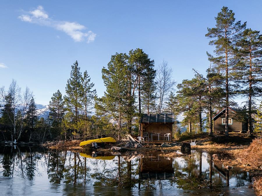


Hike to Frystetjødn – A Hidden Gem Above Ulvik Discover a peaceful mountain tarn tucked away in the forest above Ulvik. Frystetjødn lies at 507 meters above sea level, offering a quiet, scenic escape just a short hike from the village centre. This is a moderately challenging day trip through a landscape of lush forest, winding mountain roads, and breathtaking views of the fjord. Along the way, you'll find stunning lookout points with panoramic views of the Hardanger mountains and the deep blue fjord below. On hot summer days, the crystal-clear waters of Frystetjødn are perfect for a refreshing dip. The area is quiet and uncrowded—a perfect spot for a picnic or a peaceful break in nature.
About
Route Options:
-
Start from Ulvik centre and walk the full 6 km one-way.
-
You can cycle or drive part of the way up to reduce the distance and climb (limited parking available).