
From Fitjadalen to Breidablik
From Fitjadalen to Breidablik - into the high mountains Starting point Fetet, at the northern tip of Lake Fitjadalsvatnet. Drive up from route 7 in Øystese. Follow signs to Fitjadalen. About the trail ...


About
From Fitjadalen to Breidablik - into the high mountains
Starting point
Fetet, at the northern tip of Lake Fitjadalsvatnet. Drive up from route 7 in Øystese. Follow signs to Fitjadalen.
About the trail
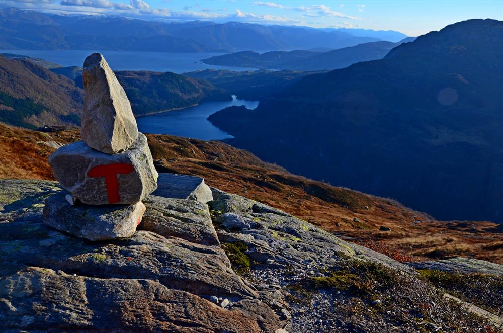
Hike along the road from the parking lot. Turn right at the river Kjølo. Follow the T-marked path through the forest to Håsete. Steady climb all the way along T-marked trails. From Håsete, keep to the left. At about 1,000 meters above sea level, keep to the left at the crossing, and then pass two lakes. Slippery when wet. Sturdy hiking boots required. This is a challenging hike, prepare well