Hike to the Bottom of Vøringsfossen
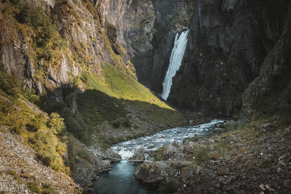
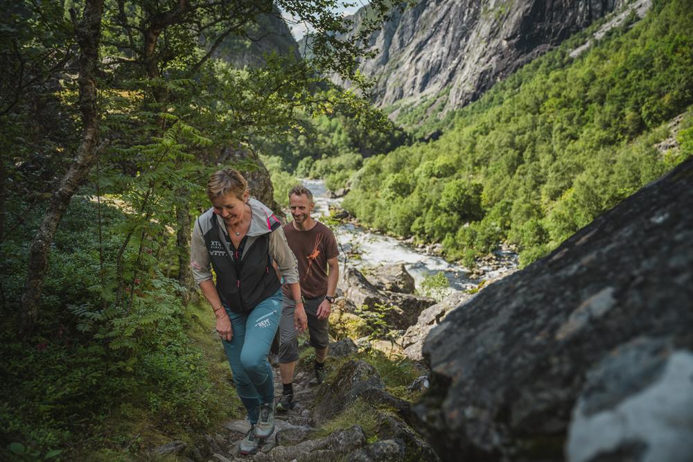
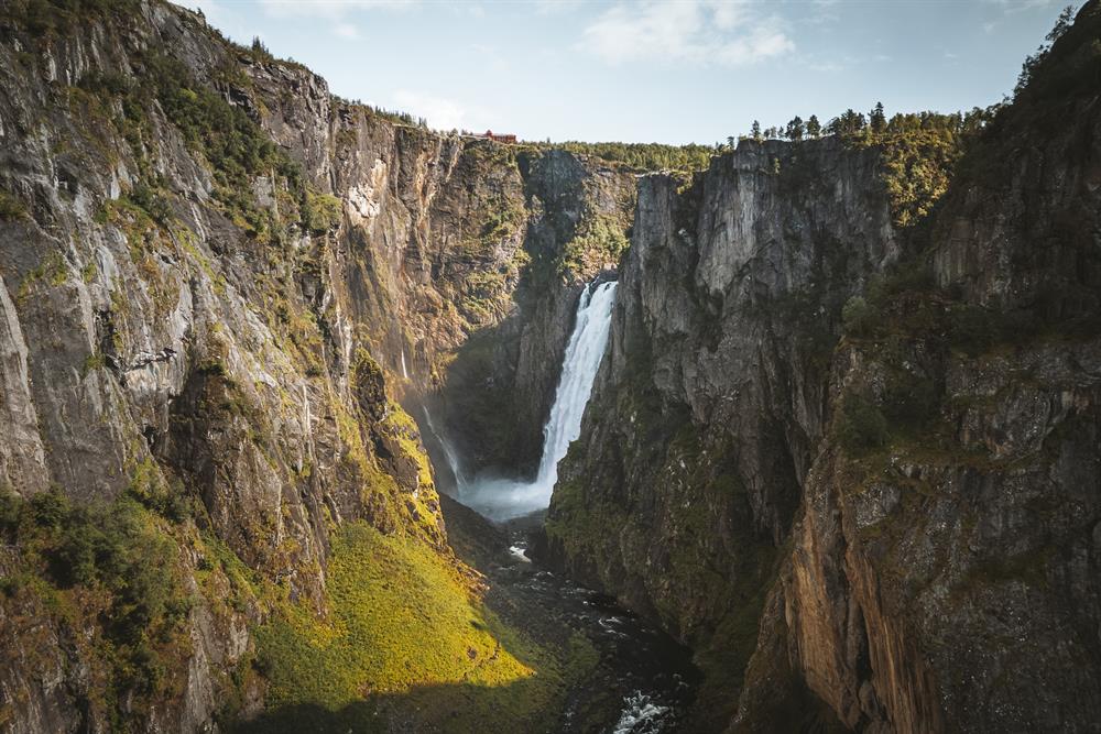
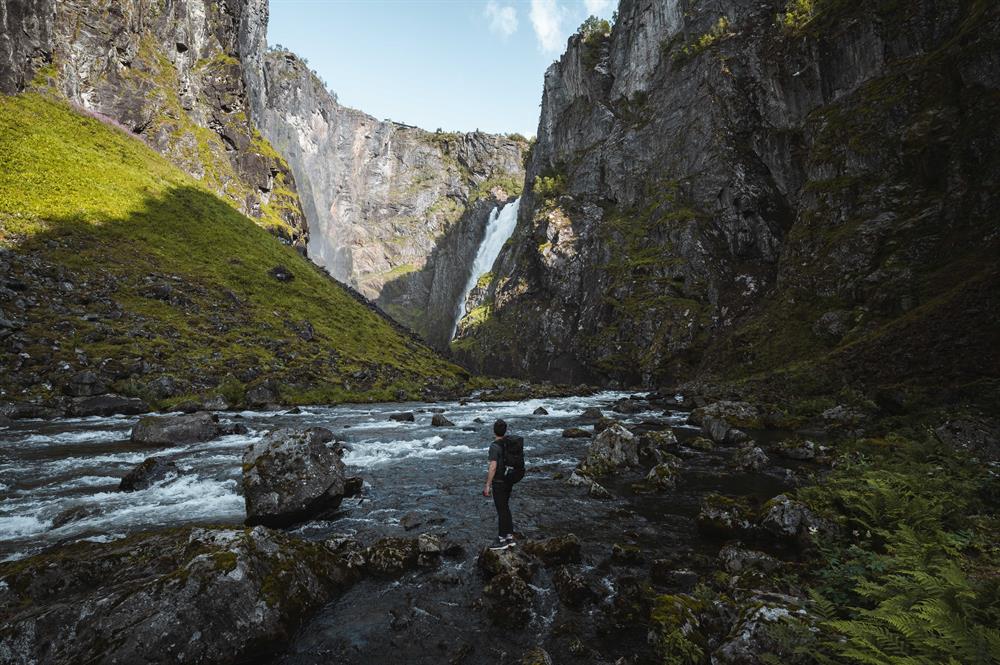
Experience the Vøringsfossen waterfall at close range. Feel the power of the waterfall cascading down from the Hardangervidda mountain plateau. This is a spectacular hike through a wild canyon.

Contact information
About
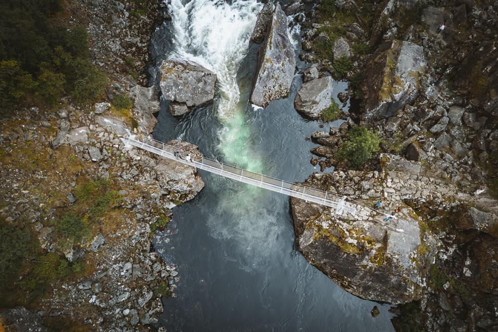
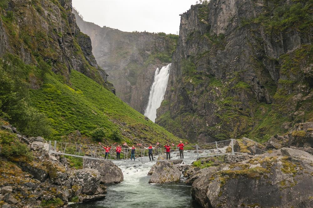
Experience Vøringsfossen from the bottom of the canyon and feel the power of one of Norway's most spectacular waterfalls up close. After being closed for many years, the old bridge below the waterfall has now been removed and replaced with a brand new bridge, making it possible to once again cross the river beneath the falls.
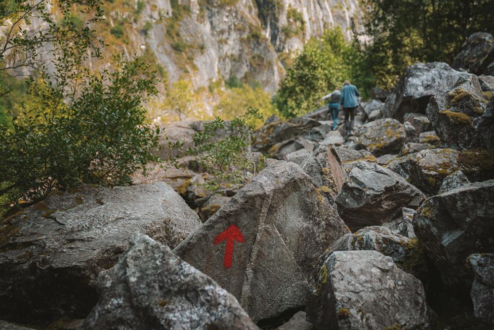
The trail to the bridge has recently been improved with new trail markings, making the route easier to follow. However, this is still a demanding hike through rough terrain. You will need to cross large boulders and rocky sections before reaching the bridge, so sturdy hiking boots are essential. Please take extra care, especially if the rocks are wet.
After crossing the new bridge, the trail on the opposite side has not yet been upgraded. This section can be muddy, uneven and slippery, particularly after rainfall. Walk carefully and allow extra time for this part of the hike.
