
Gygrastolen

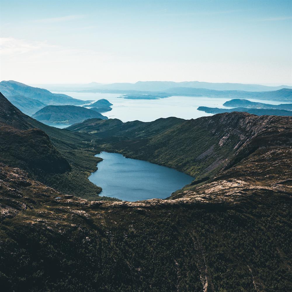
A 360 degree panoramic view towards the Hardangerfjord, Folgefonna glacier and the Rosendal alps from the great Gygrastolen.
About
Gygrastolen offers a fantastic 360 degree panoramic view towards the Hardangerfjord, Folgefonna glacier and the spectacular Rosendal alps. This hike is a pretty steep and challenging one but the view that awaits at the top definitely makes up for the steep climb.
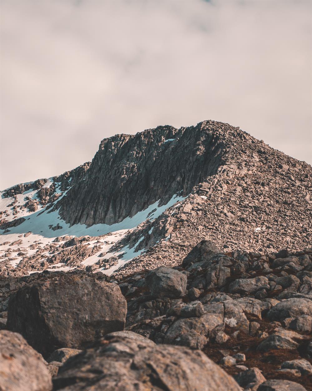
The hike to the 1339 meter tall mountain peak is 14 km long and is estimated to take around 6-8 hours. From Ænes church the path follows Setervegen road along Tverrelva river into the valley. After around 200 meters the path swings to the right and follows a tractor road into the forest. The hike goes through varied terrain. When you reach around 900 meters above sea level you meet a new intersection where you follow the signs towards the left and enter Furebergdalen Valley. From here you follow the plateau in an arch until the terrain flattens out by the cairn that marks the tallest point, not that far from Nibbo which is 1330 meters above sea level. If you want to go all the way to the top at 1339 meters above sea level you have to bring climbing equipment as the last part is really steep and challenging (this should only be done if you have the knowledge needed for climbing outside).